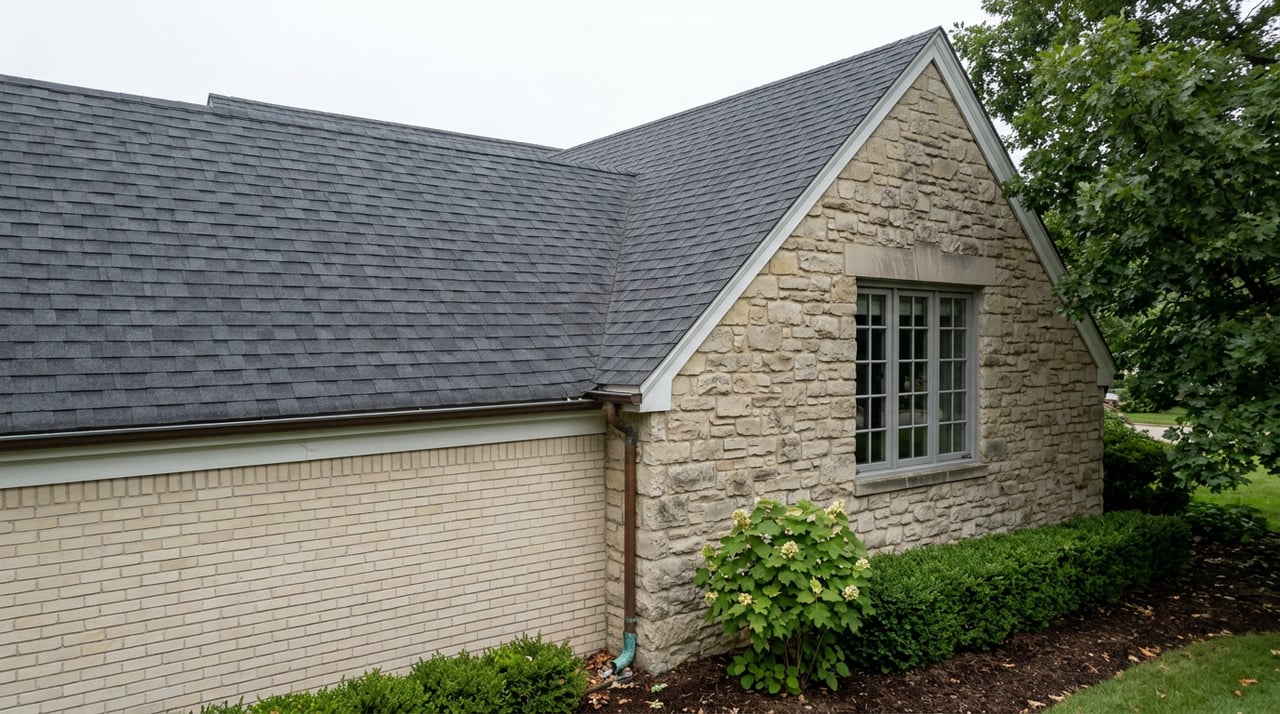
If you've been meaning to register your home for a Century Home Marker this year, the application window has closed. The Upper Arlington Historical Society closed its 2026 application window on September 15; homes that qualify this cycle are those built in 1926 or earlier, following the rolling one-hundred-year line that moves forward every January.
That deadline is a small, practical fact. But it points to something larger about how this city keeps track of its own age, and the answer is not what the yard signs alone suggest.
Every August, small paper signs appear on lawns across Upper Arlington, marking homes that have crossed the century threshold and kept most of their original front facade. Most residents who notice them assume the story stops at the curving streets south of Lane Avenue, in the neighborhood everyone calls Old Arlington. That assumption used to be accurate. It isn't anymore.
Two Signs, Two Very Different Commitments
The August yard sign and the permanent metal marker you might see bolted to a garage or front wall are not the same program, and the gap between them tells you something about how many homeowners actually follow through.
The paper sign is free to any home that meets the criteria and comes down at the end of the month, a one-season nod to a birthday. The permanent version, called the Century Home Marker, is a different commitment entirely. Homeowners pay $275 for a durable zinc plaque, or $250 if they're already Historical Society members, cast locally by Columbus Sign Co. and stamped with the city's centennial bear logo alongside the home's actual year built. The Society had to work with the City to pass specific legislation permitting a permanent marker to be affixed to a home's exterior at all, since Upper Arlington's design rules are strict enough that even a small plaque needed its own approval path.
Since the program launched in 2023, more than 80 homes have installed one. Compare that to the roughly 490 homes across the city that the Franklin County Auditor's records currently show as century-old or older, and you get a rough sense of how many eligible homes have yet to add a permanent marker.
If you want to check your own home's status, the Franklin County Auditor's site is the same starting point the Historical Society recommends to homeowners who aren't sure of their build year.
The Line on the Map Keeps Leaking North
Here is the part that surprises people who think "historic" in Upper Arlington means one specific neighborhood. In 2024, roughly 370 homes citywide met the hundred-year threshold. In 2025, that number climbed to about 440. This year's registry lists more than 490. And in each of the last two years the Historical Society has noted, consistently, that about 15 percent of those qualifying homes sit north of Lane Avenue, entirely outside the boundary of the officially recognized Upper Arlington Historic District.
That district, listed on the National Register of Historic Places in 1985, covers the original Old Arlington footprint: the section King and Ben Thompson platted after buying 840 acres of farmland from James T. Miller in 1913, laid out with curvilinear streets by landscape architect William Pitkin Jr. and developed under the Upper Arlington Company, incorporated in 1917. That's the part of the city most people picture when they hear "historic."
But the hundred-year threshold doesn't care about zoning boundaries. It only cares about a build date. Every year, a fresh cohort of homes crosses the line, and a growing share of them are sitting on streets north of Lane that were built up later than the original district but are now old enough to qualify on their own terms. The map of the city's oldest housing stock has been quietly spreading north for years. Most residents just haven't been handed the numbers that show it.
What Upper Arlington's Older Homes Look Like on These Streets
The architectural variety behind these numbers is worth a slower look than a yard sign gives you. The Historic District's building stock is officially classified as Twentieth Century Revival, a catchall for a set of styles that borrowed heavily from Europe and reinterpreted it for Ohio lots.
At 2176 North Parkway, architect Robert R. Royce designed a Norman farmhouse revival in 1932, the kind of house modeled on rural Normandy homesteads where the barn and living quarters shared one roofline. The front turret, which reads as decorative today, was styled after the grain silos that anchored the original French version.
Royce also designed the French Chateau-style home at 2237 Cambridge Boulevard, recognizable by its steep hip roof and the way the second-story windows break through the cornice line, a formal look pulled from provincial French estates.
And at 2427 Tremont Road, George and May Chennell built a Cotswold-style stone house between 1931 and 1933. The house has steep gables. The couple moved in during the late summer of 1933.
None of these homes are anonymous entries in a database. They're specific choices made by specific people, which is part of why the Historical Society's project has stayed popular for as long as it has. A yard sign turns an ordinary walk down Cambridge or Tremont into something closer to reading a caption.
Finding the Map Without Opening an App
The Historical Society still does this the analog way. Physical maps of that year's participating homes are typically available at UA's public libraries, at South of Lane, and at Cover to Cover Bookstore on the Mallway, which has a history of building a window display around the event each August. In recent years, Storyline Bookshop and Littleton's Market have carried maps too.
It's a small detail, but it fits the neighborhood's rhythm. You don't need to search anything. You pick up a paper map while you're already running errands on the Mallway, then spend part of a Saturday afternoon walking streets you've driven past for years, looking at houses differently because you finally know what year they were built and who built them.
A Boundary That Keeps Moving Forward
The easiest way to misread this program is to treat it as static, a fixed inventory of old houses that gets rediscovered every summer. It isn't. Next year, the threshold rolls forward to 1927. The year after, 1928. Every January, a new batch of homes ages into eligibility, which means the map the Historical Society publishes in August 2027 will look different from this year's, not because anyone moved a boundary, but because the city itself keeps getting older in real time.
That's the piece worth sitting with. Upper Arlington's historic identity was drawn on a map in 1985 and hasn't moved since. But the actual population of century-old homes has never stopped growing, and an increasing share of that growth is happening outside the lines everyone assumes still apply. If you've lived here long enough to have opinions about which streets feel "old" and which feel newer, the data suggests your mental map might already be a few years out of date.
If you're curious whether your own address falls inside the current count, or you just want to talk through what a century of Upper Arlington's building history looks like on your specific street, the team at The Laumann Group spends enough time in these neighborhoods to enjoy that kind of conversation as much as any transaction. Let's Connect.
This article is general information, not legal, tax or financial advice. Consult a qualified professional about your situation.